Aeronautical Survey (WGS-84) for aerodromes and area around airports
Aeronautical surveyors are not that much everywhere although their missions are much needed in aviation for Airports, Obstacles, Maps/Charts/satellite images and WGS-84 data that ICAO highly recommended to be used in aviation around the world. GACS has the capability to deliver this service by its professional team that are equipped with precise satellite receivers to deliver the products of this service in AutoCAD survey data, reports, and relevant charts that complied with ICAO respectively documents and annexes.
– WGS-84 Survey for airport.
– WGS-84 Survey for obstacles within the airport, approaches, and
departures.
– AIP charts related to WGS-84 Survey, airport diagram, Type A
chart, Type B chart, precision approach terrain chart, …etc.
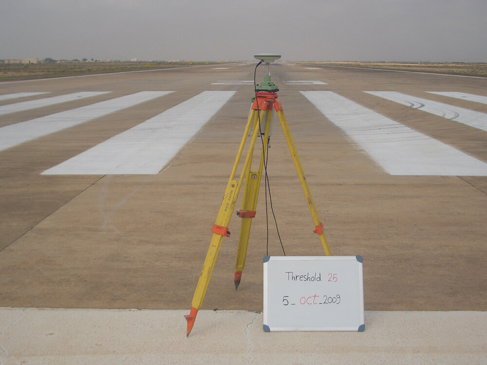
The surveys are conducted using WGS 84 Differential Global Positioning Systems (DGPS) with Airport control network established using the WGS-84 ellipsoid, once this network is established, all airport runways and entities (NAV aids, lightings, etc.) are surveyed from the network station positions. All aerodrome obstacles will be referenced to the airport network. Report with three parts will be developed to contain all data required as specified in the ICAO WGS-84 Manual.